UPDATE (12:05pm): The special weather statement for the South Okanagan has ended.
UPDATE:
A rainfall warning has been issued for the South Okanagan with 25 to 40 millimetres expected to fall Monday night into Tuesday morning.
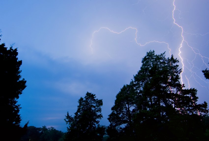
The warning, issued by Environment Canada, says that rain will be heavy at times as an upper disturbance moves in from the Pacific. Showers or thunderstorms are also expected to develop. Downpours can cause flash floods and water pooling on roads. Localized flooding in low-lying areas is possible. Watch for possible washouts near rivers, creeks and culverts.
Original Story:
Environment Canada has issued yet another special weather statement for the Okanagan Valley as wet weather is on the way.
A change to a wetter pattern is in the forecast for the southern half of the province, particularly over the Southern Interior. According to Environment Canada, an upper disturbance is moving in from the Pacific and will bring increasing amounts of moisture and instability with it. Showers or thunderstorms are expected to develop later in the day on Monday, and it will become fairly widespread over much of the Southern Interior on Tuesday.
There is a potential for localized higher rainfall amounts on Tuesday, but the rain is expected to taper off by Wednesday. For the latest, most up-to-date information, visit the Environment Canada website.
The special weather statement covers the following areas:
Fraser Canyon, B.C.
Nicola, B.C.
Similkameen, B.C.
Okanagan Valley, B.C.
Shuswap, B.C.
Arrow Lakes - Slocan Lake, B.C.
Boundary, B.C.
West Kootenay, B.C.
Kootenay Lake, B.C.
East Kootenay, B.C.
North Thompson, B.C.
West Columbia, B.C.


