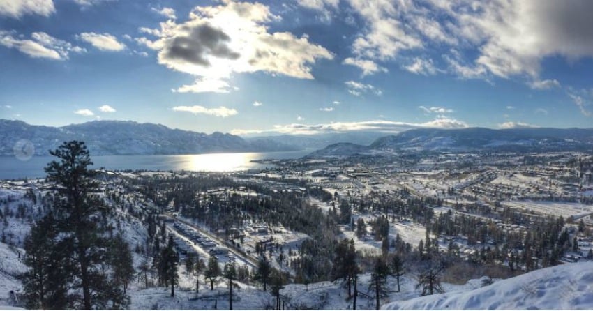
Based on the snow-covered mountains in view from downtown Kelowna, it's no surprise this year's snowpack is already above average.
After last spring's flooding, the City of Kelowna, the Regional District of the Central Okanagan and the Province reflected on how last year's snowpack significantly impacted Okanagan Lake's water levels.
Questions hovered around whether or not the gate keepers of the Okanagan Lake Dam gate should have started letting water out earlier that winter.
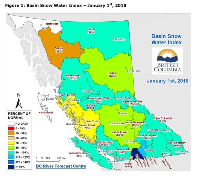
On Jan. 1, 2018, data was collected by the province's River Forecast Centre showing that snowpack levels in the Okanagan are at 123%.
According to the Ministry of Forests, Lands and Natural Resources (MFLNR), two key weather factors have been driving the development of this year's snowpack.
In November, the cool, wet weather led to heavy precipitation and an early-season snowpack.
The other key factor in this year's snowpack was the Arctic air mass that blanketed most of Canada in December.
"While temperatures were low, precipitation was limited, and there was very limited accumulation of snow throughout the majority of the month," said a spokesperson for the MFLNRO.
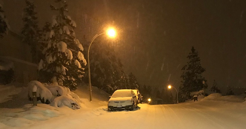
By the end of December, it started snowing again and this time, it stuck around - even in low-lying areas of Southern B.C.
Apart from the above-average numbers in the Okanagan and the below average numbers in the Stikine region, the rest of the province is at a near-normal snowpack level.
The MFLNR stated the data for the Okanagan and the Stikine region could be early indicators of flood and drought risk, but it's still early in the snow season.
"With three or more months left for snow accumulation, these outlooks could change significantly."
The River Forecast centre will release an updated seasonal flood risk forecast on Feb. 7.


