Snow pack levels across the Okanagan and Similkameen regions of B.C. are more than 200 percent above normal, which is the highest since records have been kept in 1980, said Dave Campbell, head of the B.C. River Forecast Centre.
During a conference call Monday afternoon, Campbell said the level of water in the snow that continues to melt across the region is five to 20 percent higher than what was reported on April 1, which is only adding to flooding concerns across the southern Interior.
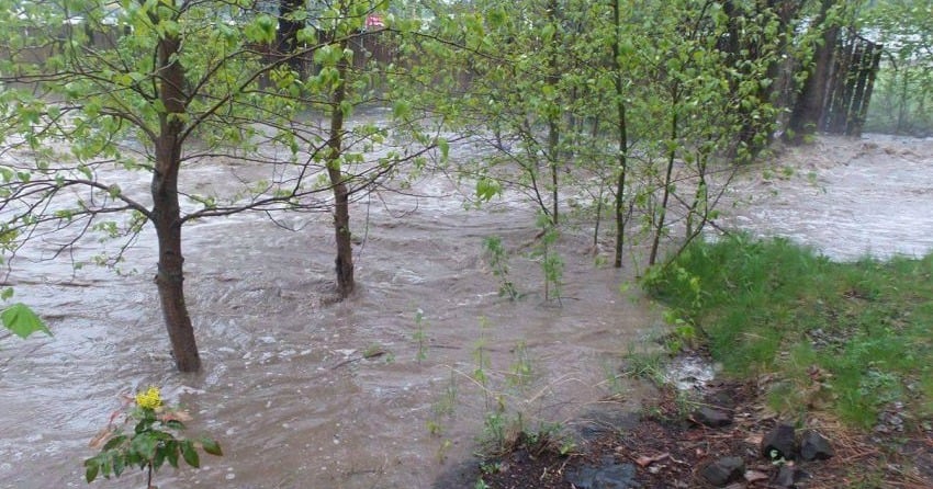
With a combination of warm spring temperatures and some rain in the forecast, the flooding concerns will only increase over the next 10 days, he said.
“There is potential for more widespread flooding,” he said. “There could be continued challenges when it comes to flows across the interior.”
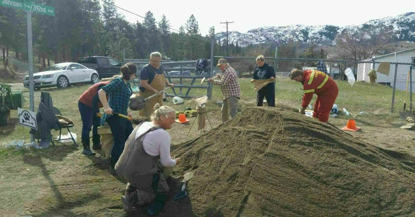
Chris Duffy, executive director of Emergency Management B.C., said flooding concerns remain across huge swaths of the province.
There are currently 17 State of Local Emergency (SOLE) orders across the province, including several in the southern interior; eight First Nation band council SOLE’s; 21 evacuation orders affecting 187 properties; 22 evacuation alerts affecting 585 properties; 13 local Emergency Operation Centres operating across the province; 10 First Nation EOCs and two emergency operation centres, he said.
Shaun Reimer, the section head for Public Safety and Protection for the Thompson Okanagan region and man in charge of controlling water flows on Okanagan Lake, said earlier forecasts about water flows into Okanagan Lake have had to be revised due to the huge amounts of water entering the Okanagan watershed in the past few days.
“This will make things a little more problematic,” said Reimer.
Despite the increased water levels, Okanagan Lake remains 62 centimetres lower than it was at this time last year, he said.
Despite the increase in water flows recently, Reimer doesn’t anticipate the same problems that saw Okanagan Lake rise to near-record levels in late May and early June last year.
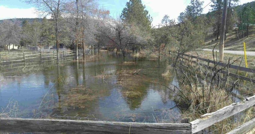
When you consider it takes four full days of allowing full flow into Okanagan Lake to raise the water level one centimetre, he’s not concerned at this point about flooding on the region’s largest body of water, he said.
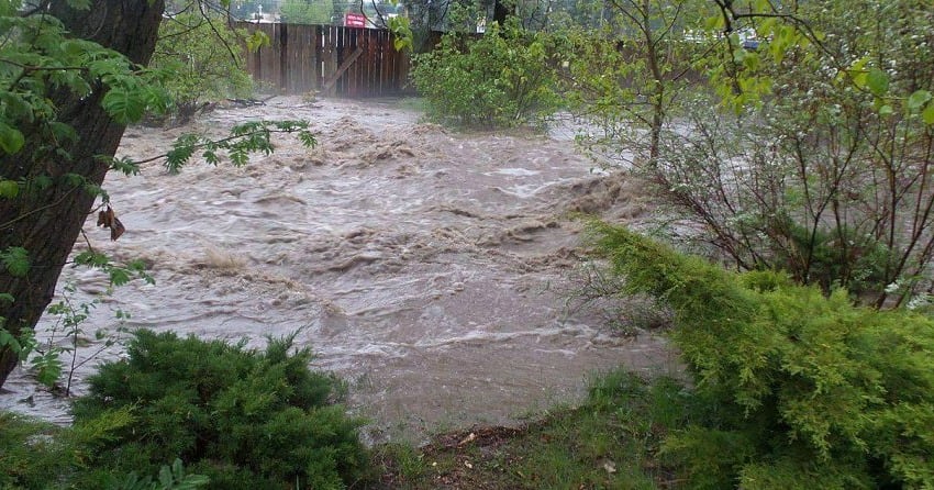
With much of the lower and mid-elevation snow in the region now melted and moving through the watershed system, the biggest concern remains with high elevation snow moving into the system, said Campbell.
A combination of warm weather and possible rain will only add to the rate of snow pack melt, which makes the next week to 10 days critical to many areas in the southern interior, he said.
The worst may be over for certain creeks and rivers that handle low and mid-elevation snowmelt, but the worst is likely still to come for those that will be deluged with higher-elevation snowpack, he said.
“We expect to see the rapid snow melt continue,” he said.
The B.C River Forecast Centre plans on continuing holding twice-weekly updates to media across the province every Monday and Thursday afternoon until the end of June, said Campbell.
Overall, the province has well above normal snow pack for May 1, said Campbell.
The average of all snow measurements across the province is 168 percent of normal, increasing significantly from 127 percent of normal on April 1.
Of the 222 snow measurements taken for the May 1 survey period, 60 locations exceeded their previously recorded maximum May 1 values.
Extremely high snow packs of 150 percent or more above normal are present in the Upper Fraser West, Nicola, Okanagan, Similkameen, Boundary, Skagit, West Kootenay, East Kootenay.


