The BC River Forecast Centre held a media conference on Wednesday and provided an update on the outlook for the Okanagan.
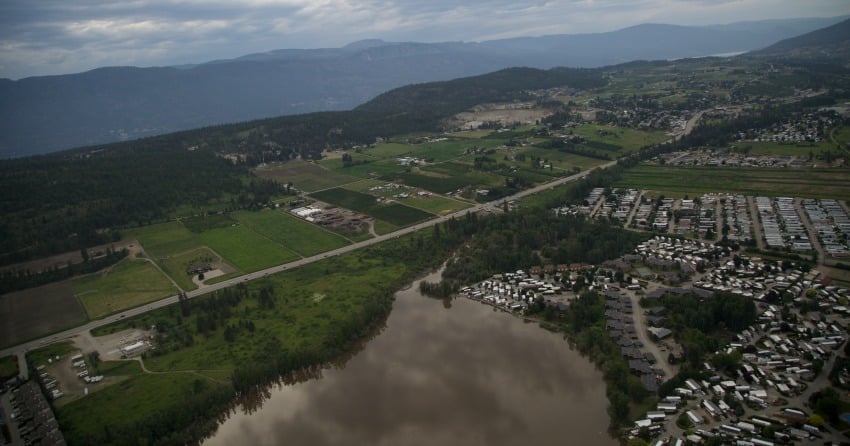
After retrieving June 1st data on the snow pack in the Okanagan, the reports showed that much of the snow had melted and therefore the main contributor for future flooding depends on the amount of precipitation that happens within the next couple of weeks.
The River Forecast Centre spoke to the changes in the snowpack and what this means for the Okanagan.
"We’ve definitely seen ongoing melts through the June period," said Dave Campbell with the BC River Forecast Centre.
"Through the month of June we really started out fairly mixed in terms of precipitation and a little bit of hot weather driving some of the flooding early in the season."
According to Campbell, the second half of the month saw heat temperatures at about eight to 10 degrees above normal.
As far as how it all started, Campbell contributes the flooding to unusual amounts of precipitation, warm weather and more-than-usual amounts of snow in the elevation areas.
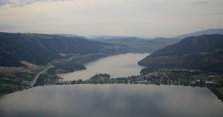
All that snow filled the rivers in a short time and with rain on top of it all, the lakes reached record-high levels.
Campbell said that high snowpacks in the southern part of B.C. especially reflects the delay in snow melt earlier in the season.
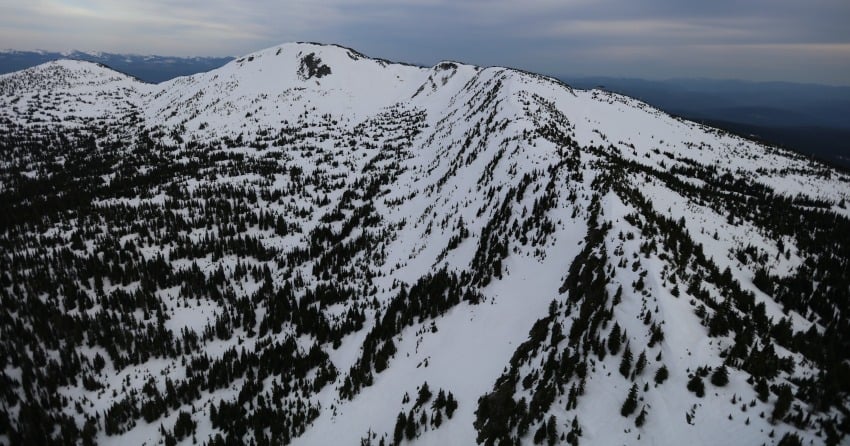
"Specifically when we look at areas like the Okanagan which has a June 1st snow basin index of 228% of normal," he said.
However he added that the high snow conditions were a contributor to earlier flooding but shouldn't be a risk to future flooding, as most has melted into the rivers and streams.
Since the May 15th bulletin, the Province has seen a lowering of the snow basin index.
"When we look at stream flow coupled with other information that we've been getting from things like aerial surveys and snow across much of the South Interior over the last week or so, we really are getting mid-elevation and trickling into the high elevation snow that's gone."
Regarding flow rates, the inflows in Okanagan Lake in May were about 240% of normal and between March and May it was at 226% of normal.
"So two and a half times the amount of inflow that we normally see."
Campbell said he has about 96 years of historical inflow records and according to those records, this year's inflows were about 10% higher than any other year in terms of flow.
"So really the combination of very wet weather and warm weather over the past periods - certainly the wet for extended periods of time and warm over the past few weeks - we've really seen unprecedented inflow in the lakes and very high flow conditions through the region."
With the influence of snow melt starting to decline, the level of flood risk is also waning through most of the province.
Even the larger river systems including the North Thompson River, Shuswap Lake, South Thompson River and the Fraser River, are all about at their peak influence from the snow melt.
"Because they’re full,they're very sensitive to weather particularly over the next year or two specifically looking at rain," said Campbell.
The message was consistent: water levels are beginning to peak and as long as the rain holds off, the flood levels should start to go down.
Most of the snow melt has hit the rivers and the final flood contributing factor lies in the weather forecast.
"There is some rain and weather coming at us and its expected to work its way across the province over the coming days. We're watching close and Will be updating advisories over the coming day," said Campbell.
Shawn Reimer is with the Regional Water Stewardship for the Ministry of Forests, Lands and Natural Resource Operations.
He also said that the inflow into Okanagan Lake had reached record levels and pinned it all to what happened in five weeks.
"For the previous five weeks - in each week we’ve seen in excess of 100 million cubic metres of water. In our record Going back to the 1940’s, we've never seen that kind of intensity coming in, or for that duration," said Shawn Reimer.
"To put it in perspective in terms of depth on the lake: for that five weeks we had 169 centimetres of water enter the lake and our ability to discharge water downstream is limited to about 55 centimetres."

According to Reimer, this is why the lake rose more than a metre in that short term.
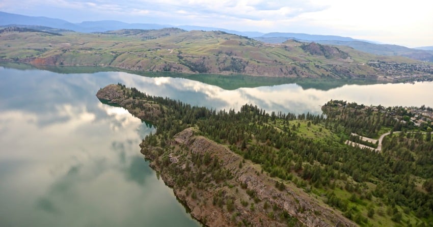
The current level of Kalamalka Lake is at about 392.44 metres.
"Kal's been flat or dropping over the last little bit. The Watershed that feeds Kalamalka and Wood Lake is a little bit lower than the rest of the basin so that it typically peaks a bit earlier than Okanagan Lake," said Reimer.
With little to no snow left, Reimer expects the lake level to drop dramatically soon, as long as there isn't too much precipitation in the forecast.
The important note about Kalamalka Lake is that the gates were wide open all winter, allowing the lake to drain, and yet because of unprecedented snowpack amounts, unusually warm temperatures and higher-than-normal precipitation, the lake still reached 'historic levels.'
"I use the word historic in our time of record," said Reimer.
"Certainly there’s anecdotal pieces out of there that explain that on all of these lakes before European settlement they got much higher."
"All the water that was coming in that could leave did leave and yet still the infrastructure couldn't handle the kind of inflows that we saw this year," said Reimer.
Okanagan Lake levels as of Wednesday, were sitting at 343.25 metres and has only risen about one centimetre over the past few days.
"So that’s somewhat encouraging - as long as we don’t see too much rainfall this weekend and through the next few weeks."
As far as how much rain will tip the scales, we'll have to see what the weather does. Environment Canada's forecast is calling for rain and sun over the next week.


