The forecast for the rest of the week calls for clear, blue skies and highs approaching 30. But Tuesday night was a different story.
The show kicked off mid-afternoon when storm clouds began rolling in from the southwest. A quick drive south to Keremeos and you would have been in the midst of the action.
There, the storm was already raging and the lightning was furious. And up in the hills, just north of Keremeos and just west of Hwy 3A, the Olalla Creek wildfire had already begun.
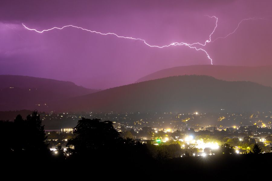
By early evening, the storm cells had moved over the city. And it only got worse from there.
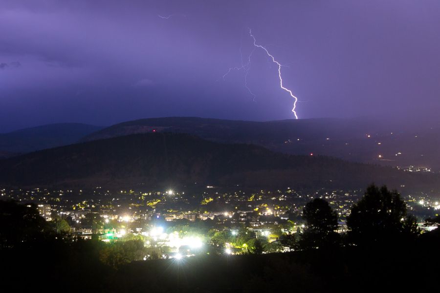
By 9:30 p.m., the thunder was almost constant and the lighting felt a little like it did on July 24th, the night of the fiercest electrical storm to hit the region in years. It wasn't nearly as frequent, but for a couple of hours one couldn't look skyward for more than a few seconds without seeing various combinations of flashes and forks.
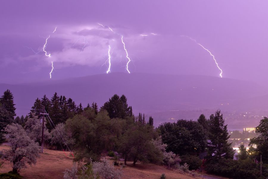
Thankfully, the clouds packed plenty of precipitation - hopefully enough to snuff out any potential lightning-caused wildfires.
Environment Canada has posted no alerts for the warm and sunny days ahead. Showers and lower temperatures are expected by the beginning of next week, with at least one weather service calling for a high of just 15 degrees next Tuesday before a return to seasonal norms.


