GoByBike Week begins today. That the City of Penticton has also chosen this time to gauge feedback from businesses and residents along the proposed Lake-to-Lake Cycling route makes this a seriously bicycle-centric time locally.
So PentictonNow opted to get in on the fun with a two-part series on the much discussed Lake-to-Lake route. We rode the corridor yesterday and offer our impressions today. Tomorrow we'll do our own mini-survey of impacted businesses and residents.
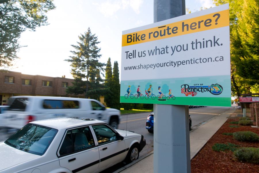
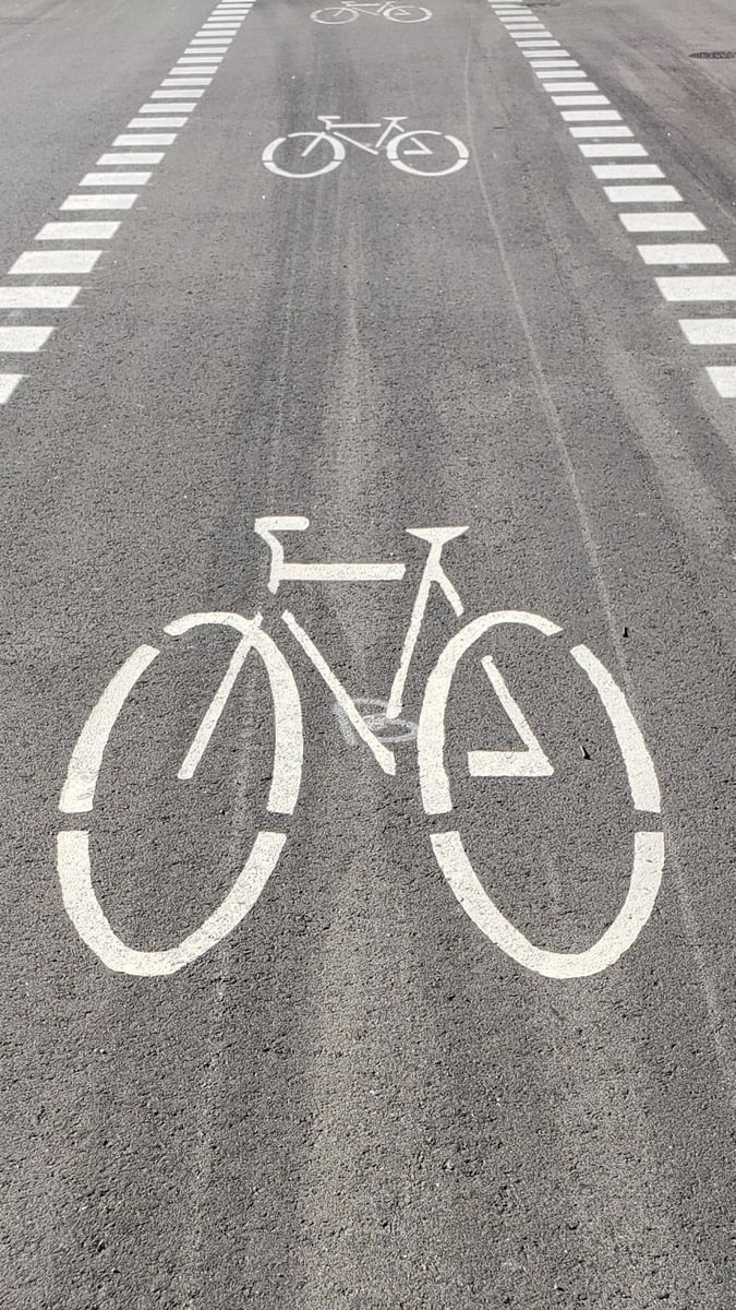
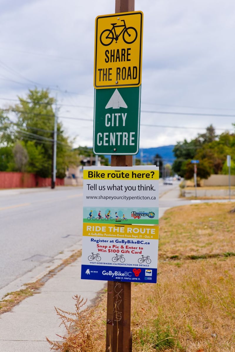
To be sure, the proposed route is still very much in its infancy. Nothing new has been built. There's no new curbing, no new traffic barriers and no new intersection reconfigurations or signal light tweaks. Just a proliferation of "Bike route here?' signage.
And that's to be expected. The City is still deciding on a final layout. And that's why City of Penticton engagement strategist JoAnne Kleb says the route, which will ultimately cater to all ages and abilities, is "really not safe to do now."
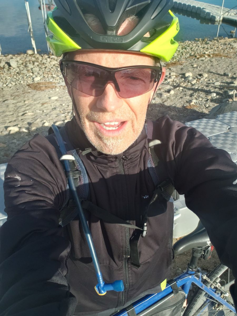
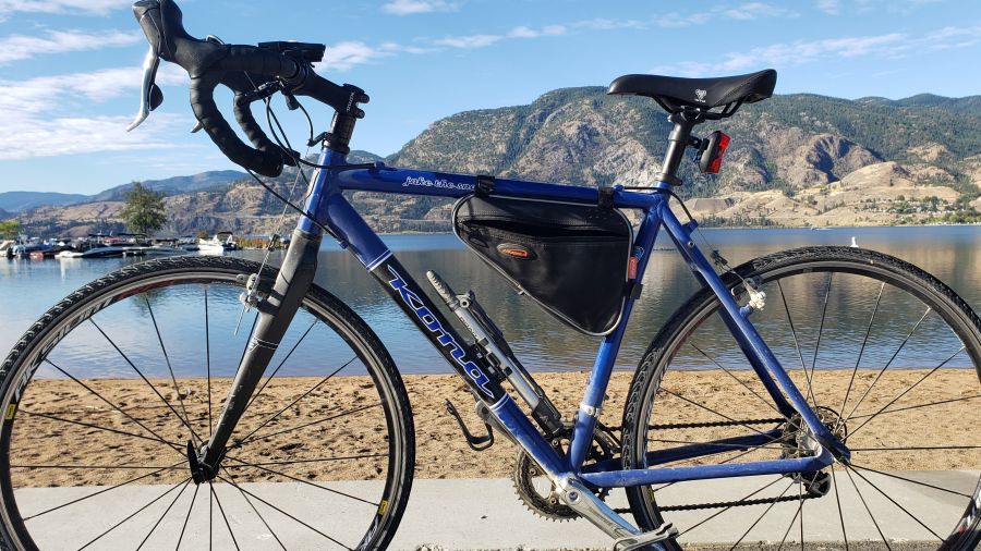
But experienced cyclists ride through the city all the time. So we set off early Sunday morning, riding it once as a commuter or a sports cyclist would, and a second time as a family or perhaps shopper or sightseer would. After all, the route isn't intended as a speedway as much as it for all-ability access to popular Penticton destinations.
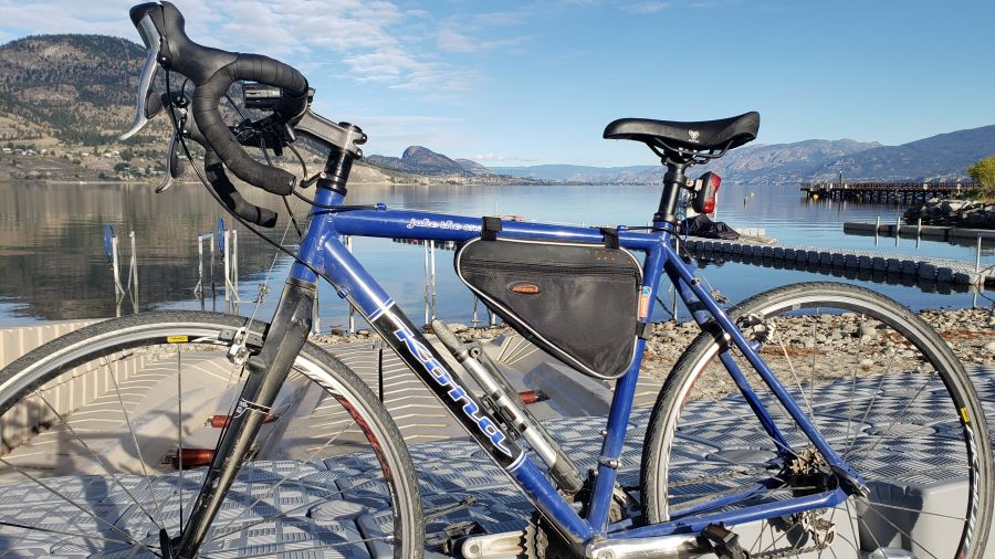
Nevertheless, we were happily surprised at the pace of our first trip. We rode beach to beach in just 18 minutes, stoplights and all.
Granted, this was a sunny Sunday morning. The pavement was dry, the traffic was low. And we did ride hard. We were far more leisurely during our second go, with ample stops for photos and note-taking.
As we biked, we came to understand how very different each of the four segments (South Main, Atkinson, Fairview, Martin, from south to north) are from one another.
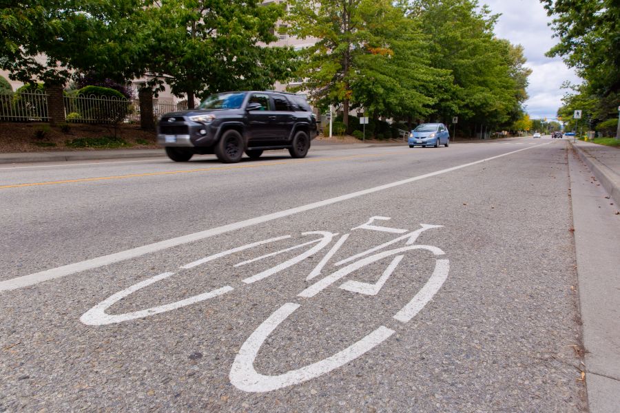
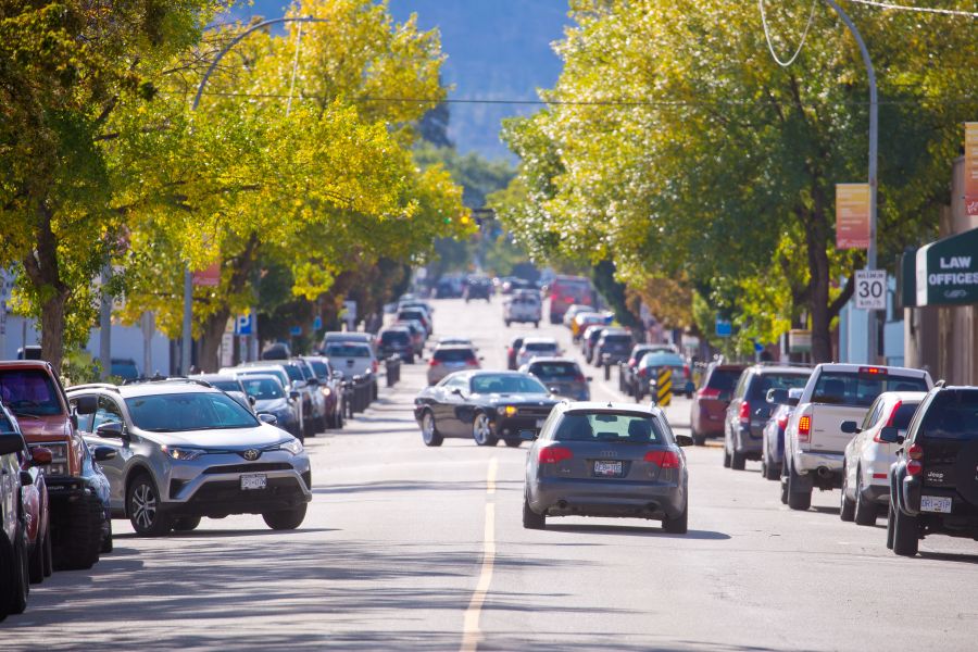
South Main, for starters, is currently a cycling dragstrip. It's straight, it's wide, it's scenic, it has few intersecting streets, and it's pre-fitted with bike lanes on both sides. That it's already used extensively by sport cyclists -- who then whip straight out to Eastside Road along Skaha Lake -- is a given.
The plan here is to add protective curbs on the east side of the street and reconfigure the west so the bike lane is protected from traffic by parked cars. But will experienced bikers simply ignore the alterations and the slower cyclists theoretically contained within?
Even still, it would be hard to find a better choice for a section that comprises nearly a third of the total route.

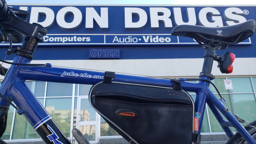
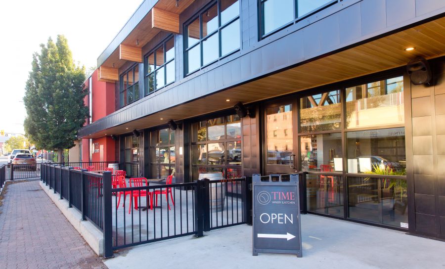
The Atkinson segment, reached via Kinney Ave. from South Main, is a different story. Featuring high-density and low-density housing and Main Street retail (Cherry Lane, Safeway, and more), it's crisscrossed by major intersections like Skaha Lake Road and Kinney, Atkinson and Warren Ave., and Atkinson and Duncan Ave.
And although we rode on a quiet Sunday morning, it's normally one of the busiest connector roads in town. Granted, it does offer easy access to shopping, which is one of the project's objectives. And the City says they'll "improve" key intersections like Atkinson and Duncan.
Moreover, Kinney and the entire section of Atkinson behind Cherry Lane already sport painted bike lanes on both sides.
But as you go west, Atkinson narrows and the current bike lanes go away. The idea is to extend those lanes north, but that would mean a narrowing of the sidewalks or the traffic lanes or some loss of already-rare street parking, or a little of everything.
"Fairview" is up next, essentially a short connector from Atkinson to Martin St. and downtown.
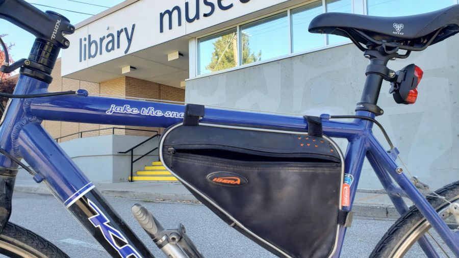
The City will implement several notable improvements here, like a jog along a multi-use path to shield cyclists from the frantic Duncan and Fairview intersection, and some transition work near Rory McIvor Way and the library.
Outwardly, the plan to install a two-way "cycle track" on the east side of Fairview (there'd be no bike lane on the west) is a smart idea given the entry and exit points and the neighbourhood's rather chaotic street layout.
And that brings us to the "Martin" downtown segment. Sunday morning, we rode our bike straight up the Martin St. traffic lanes. And it was fast.
But speed isn't the goal. Giving all levels of cyclists a safe route through a busy downtown street loaded with retail and dining, is. As is incentivizing residents to switch up their cars for bikes.
In that way, the Martin segment, where another two-way cycle track would appear on the west side of the street, succeeds.
But cars are still a thing. And although traffic lanes wouldn't be impacted, parking, which is already tight, would be eliminated on that side. Furthermore, cyclists would be rolling north and south while vehicular traffic is primarily moving south.
And with bikes, pedestrians, and cars all doing their thing in an already congested strip, the City will have to come up with some snappy logistics to make it all work smoothly.
More on all of this tomorrow when we continue with our informal survey of on-route businesses and residents.