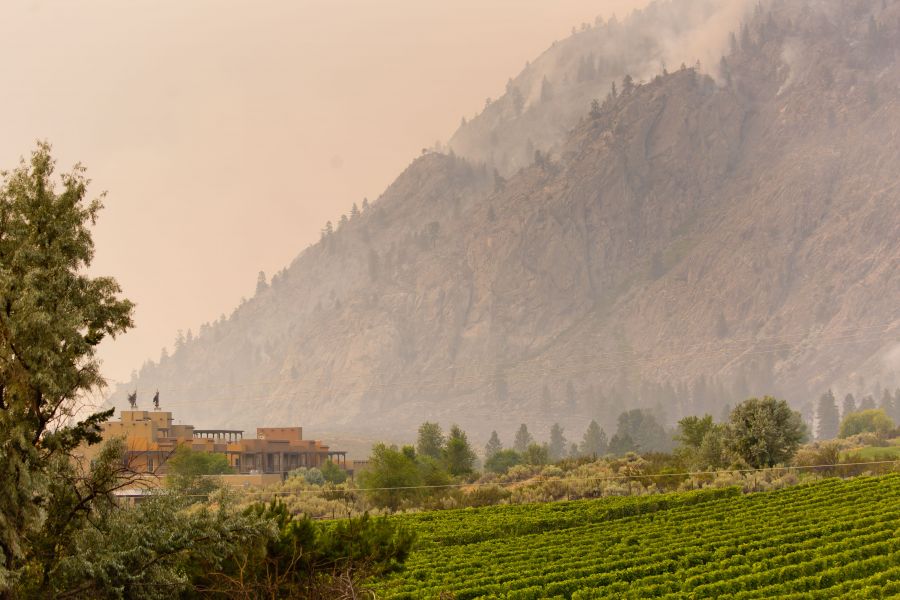
When PentictonNow photographed the Nk'Mip Creek wildfire Monday afternoon, just hours after its ignition, the blaze was focused in the hills just east of the Black Sage Road wine region -- substantially closer to the town of Oliver than the town of Osoyoos.
Twenty-four hours later, it continued to threaten Oliver and the homes and farms and wineries to the east of it.
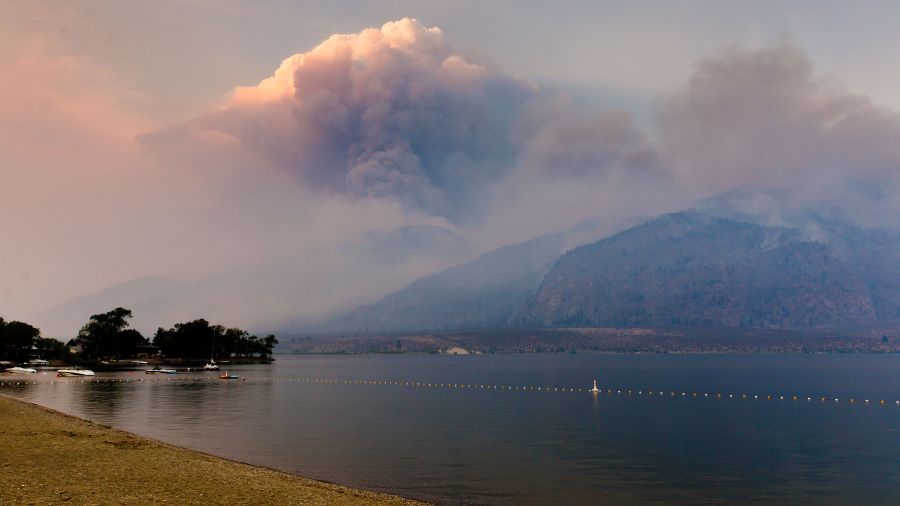
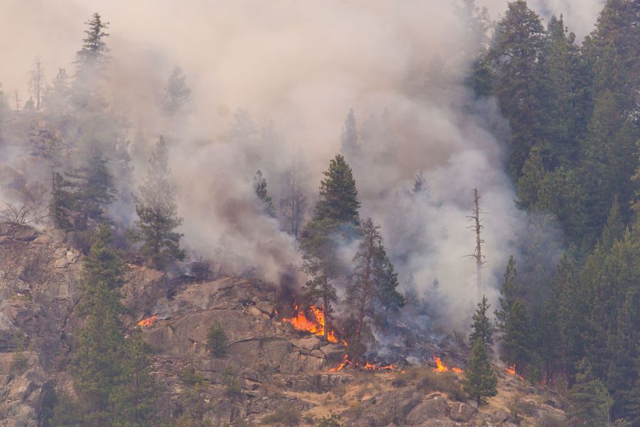
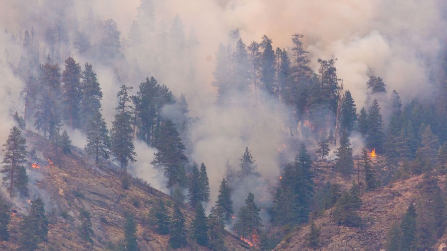
But it had also spread -- dramatically -- to the south and the east. And by our second visit Tuesday afternoon, new pockets were already burning in the mountains on the eastern edge of Osoyoos Lake.
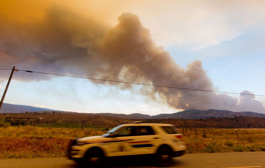
That's a lot of movement in a single day, and a lot of growth -- from 300 to 2,000 hectares. And a bunch more evacuation orders too for Osoyoos tourist meccas like Spirit Ridge Resort, where, just dozens of meters away, firefighters could be seen battling one of multiple hotspots in the immediate area.
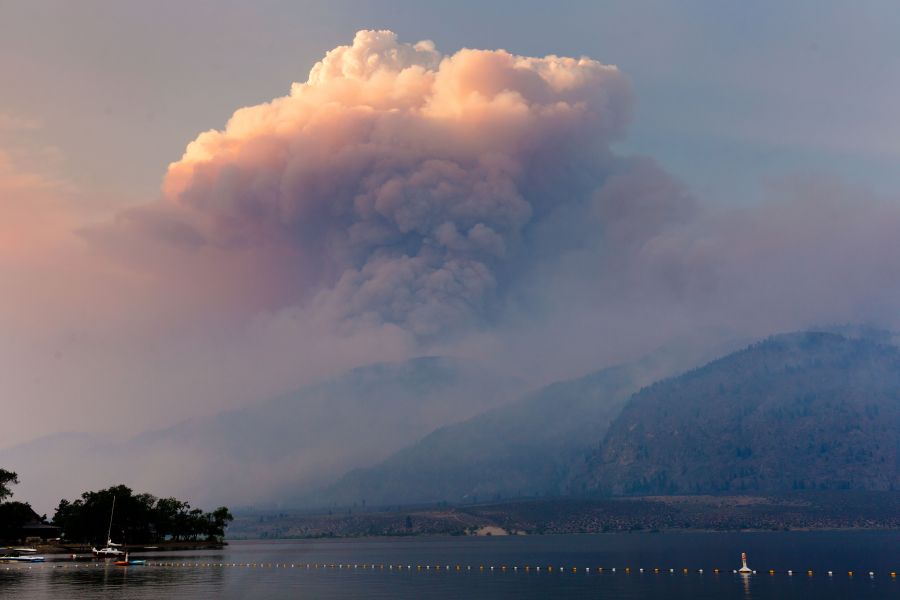
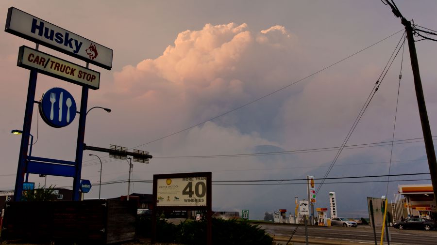
As afternoon turned to evening, a large, mushrooming smoke cloud could be seen forming directly above the lake -- its sheer size and drama camouflaged by the dying light and increasing haze.
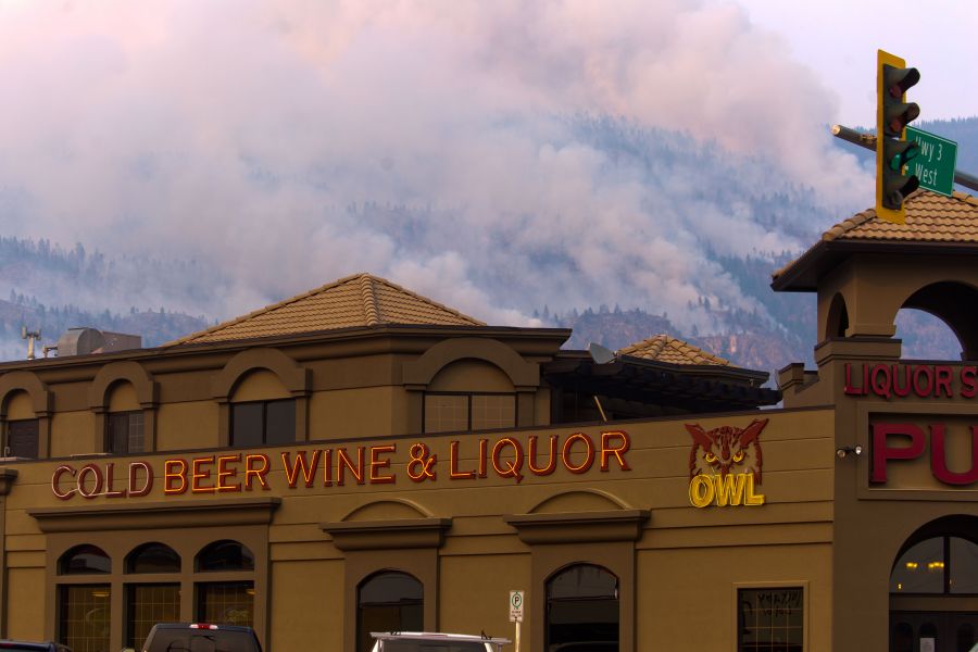
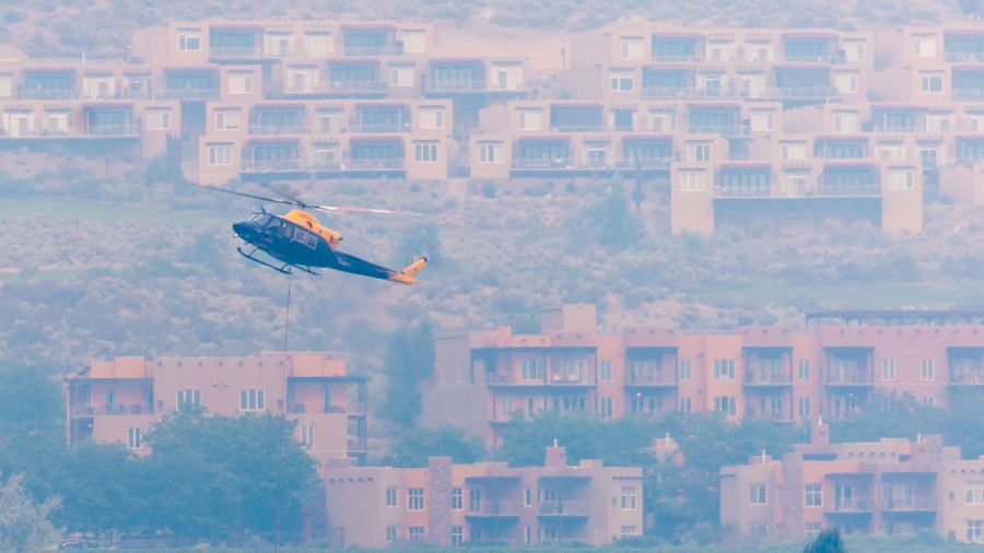
The good news thus far is that firefighters have done an impressive job guiding the snaking Nk'Mip Creek fire away from structures and populated areas.
The bad news is that Osoyoos temperatures are expected to climb slightly in the next week to the low and mid-30s, with nary a drop of rain in sight.
Moreover, the fire's eastern advance now seems serious enough to involve the Regional District of Kootenay Boundary, which last night ordered evacuation notices and alerts for homes as far east as the tiny village of Bridesville, not far from the Anarchist summit on Hwy 3.
In a morning update, BC Wildfire still calls the blaze "out of control" and still estimates its size at 2,000 hectares. But, it added, "Overnight recoveries on the fire were good with low temperatures and high relative humidity observed, leading to reduced fire behaviour. Objectives for today include building a machine guard between Camp McKinney and Bull Moose Road."
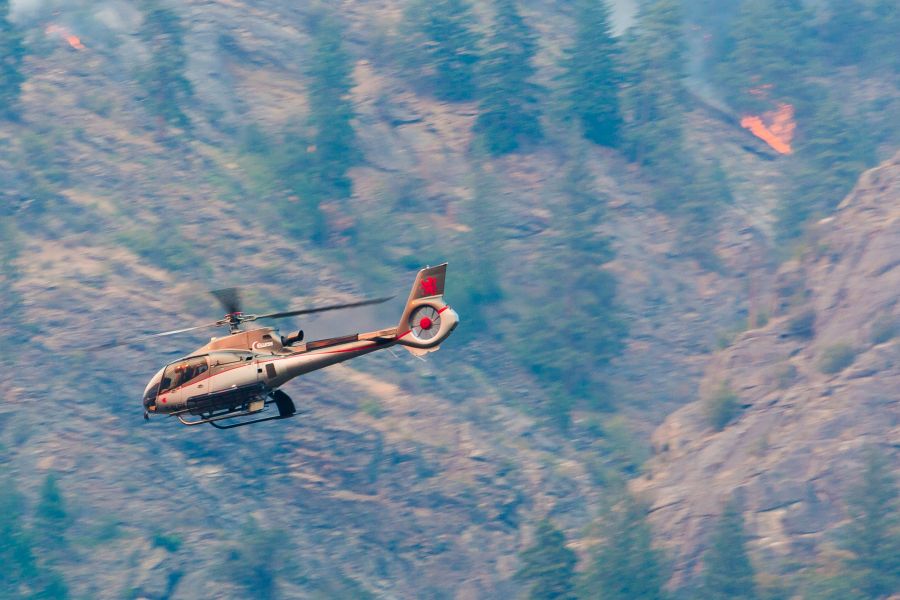
"It's a fluid situation," added fire information officer Noelle Kekula. "We have so many fires in the area. We're moving crews all the time. And air and support too."
"But please remember that we use the lakes for our water. If you see helicopters or skimmers actioning the area, move your boats to the side of the lake."
For more info on the Nk'Mip Creek wildfire, check out our constantly updated story here.