UPDATE: Click here to see our latest weather update on this story.
UPDATE: May 22, 2017 at 5:07 p.m.
Waterfront flood protection measures could face an additional test in the coming days if forecast strong winds come to reality. And if they haven’t already, that’s a pretty good reason for lakefront property owners to install defenses.
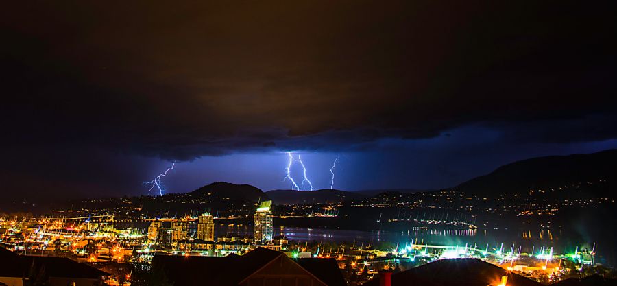
Winds from 40 to 60 kilometres per hour are forecast to move into the Central Okanagan tomorrow evening continuing into Wednesday morning. The result would be wind-driven wave action along the shoreline of the region’s lakes. Further complicating the weather picture is possible heavy rain during thunderstorms as a cold front moves through.
UPDATE: May 22, 2017 - 1:30 p.m.
Strong winds forecast to begin Tuesday evening and overnight will come from the southwest at 40-60 km per hour adding a further risk factor for lake front properties due the wave action expected to batter the foreshore. Thunderstorms forecast for late Tuesday and into Wednesday will add to streamflows. Lakefront property owners who have not yet put protective measures in place should do so immediately.
Click here for more Flood 2017 coverage.
Original story May 21, 2017 - Severe weather alert issued for Tuesday
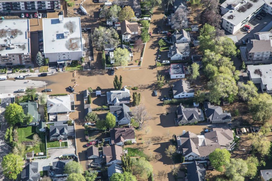
Warm weather on Sunday through Tuesday is predicted to result in accelerating snowmelt and could lead to rising streams and potential flooding.

According to Environment Canada, a ridge is building over the southern Interior of British Columbia and will remain in place Monday and Tuesday, leading to unseasonably warm weather. This warm spell is expected to accelerate snowmelt and lead to rising rivers, possibly causing concerns related to flooding.
The warm weather will be followed by a cool-down accompanied by strong winds Tuesday night and Wednesday.
There is also a risk of thunderstorms.

Strong winds combined with high water levels could result in increased wave action that may impact shorelines and lakeside roads. The saturated ground also increases the chances of downed trees during periods of strong winds.
Quickly flowing water and the adjacent riverbanks are potentially unsafe. As a result, Environment Canada is warning people not to approach washouts near rivers, creeks and culverts.
For the latest information on rising water levels in the Okanagan lake, click here.


