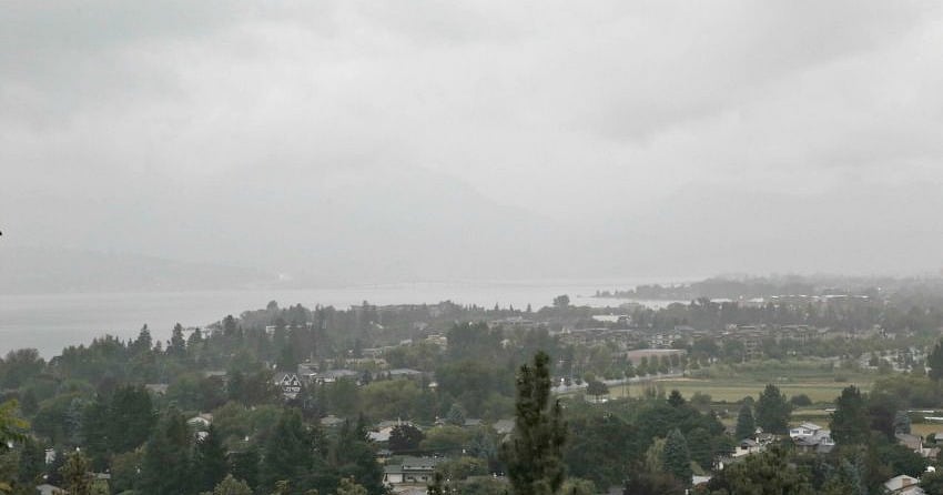
(UPDATE: May 17 @ 12:15 p.m.) - The rain and potential thunderstorms called for by Environment Canada's special weather statement on Wednesday will hit the Okanagan this afternoon.
The Kootenays already saw significant rain and thunderstorms on Wednesday and the weather system is moving west.

"Showers will continue over the Kootenays and will spread west towards to the Okanagan Valley and Similkameen this afternoon," reads the statement.
"Embedded thunderstorms and the continued risk of heavy downpours are possible in these areas."
As much as 20 to 40 millimetres of rain could hit some regions covered by this special weather statement.
That includes the Okanagan Valley, Similkameen, West Kootenay, East Kootenay, Boundary and Arrow Lakes.
(Original story: May 16 @ 11 a.m.) - As the extreme heat continues to melt a heavy snowpack, rain is the last thing the southern Interior needs right now.
Sadly, it looks like that’s what the region is going to get over the next few days.

Environment Canada has issued a special weather statement that that calls for some less than ideal weather over the next few days.
While temperatures will remain high, between 20 to 40 millimetres of rain is expected by Friday night, along with potential thunderstorms.
Today, the threat is for thunderstorms that bring brief, heavy downpours in the Kootenays, which could see up to 15 mm of rain fall in just one hour.
The heavy rain isn’t expected to impact the Okanagan until Thursday and Friday, with the risk of thunderstorms and major downpours as well.
While the weather won’t be ideal for the Okanagan, it poses an even bigger threat to the Boundary, Similkameen and Osoyoos regions that are already dealing with floods.


