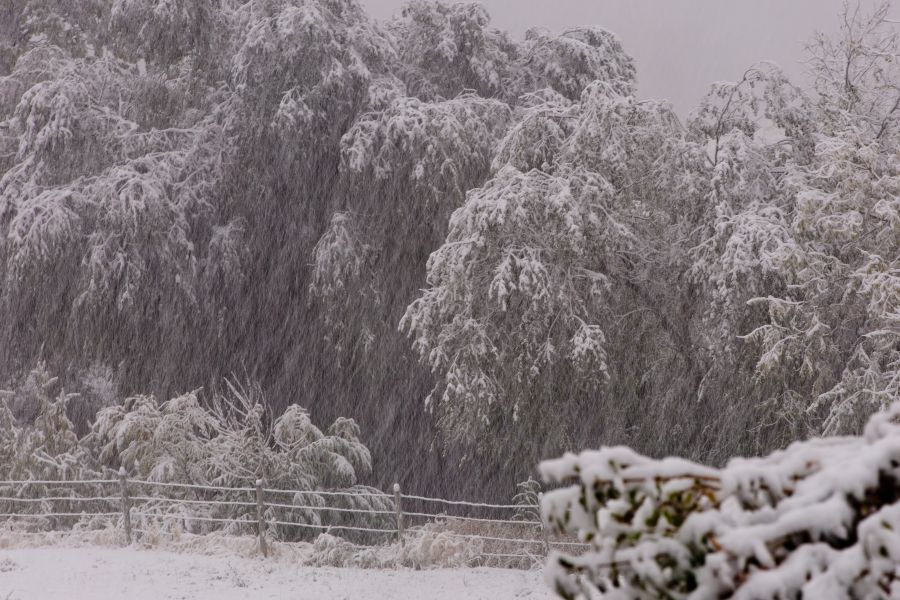
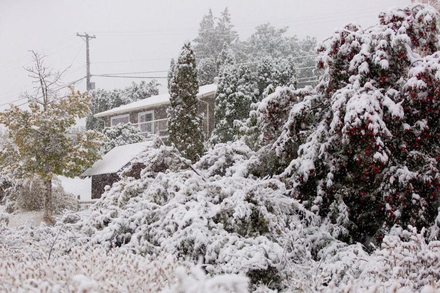
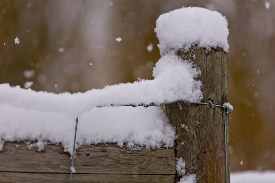
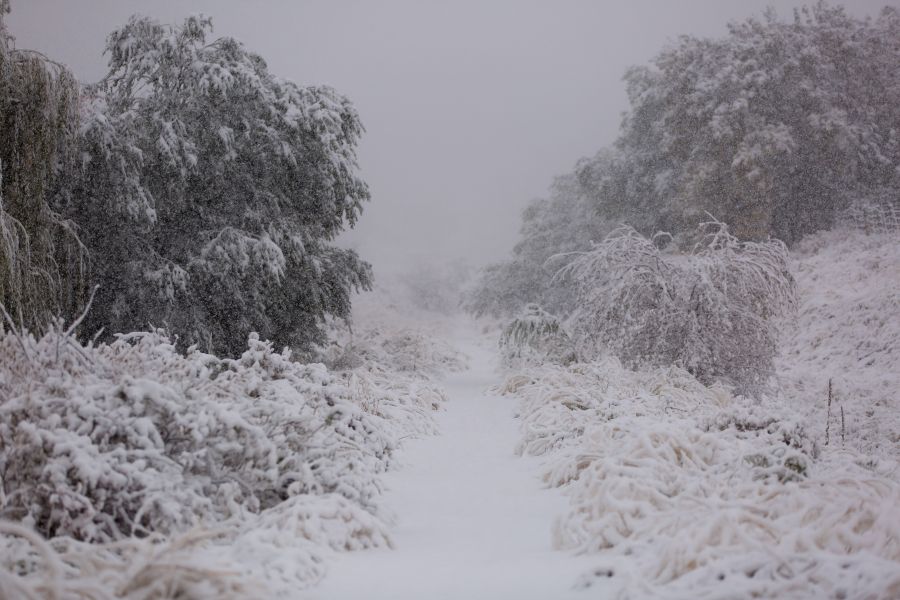
What else could go wrong in 2020? How about a big dump of snow before Halloween?
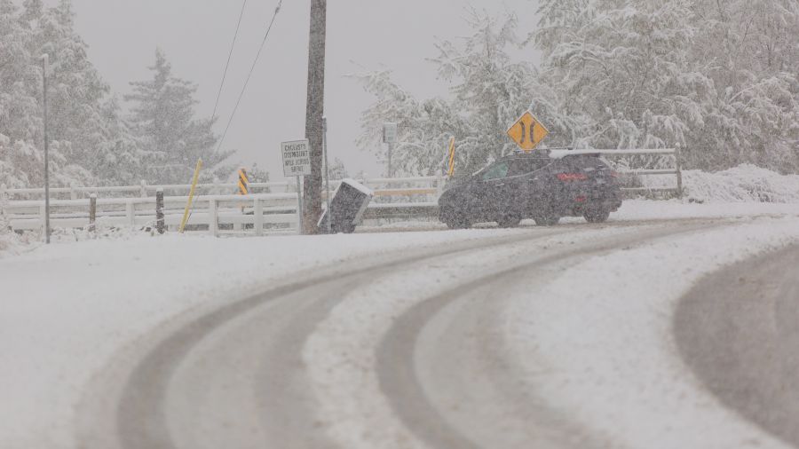
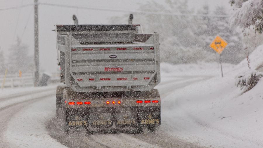
Pentictonites went to bed last night knowing what was coming. That's one of the big reasons snow tire appointments were being booked a week or more into the future.
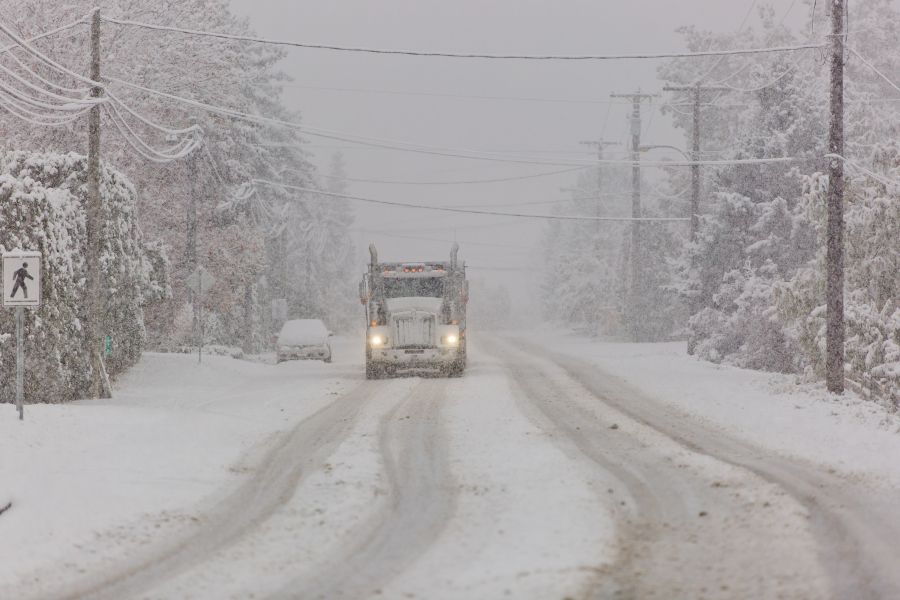
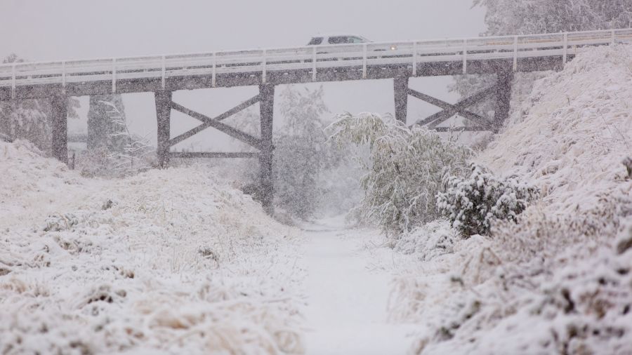
But morphing from dry roads and green foliage to the first total white-out of the fall -- on Oct. 23rd -- still comes as a shock to the system.
According to Environment Canada, temperatures in the valley last night barely dipped low enough to support snow.
The mercury hit 0°C at midnight and has parked itself at 1°C ever since. The snow didn’t hit until 5 or 6 AM.
Today, says Environment Canada, we can expect the white stuff to turn to rain by mid-day.
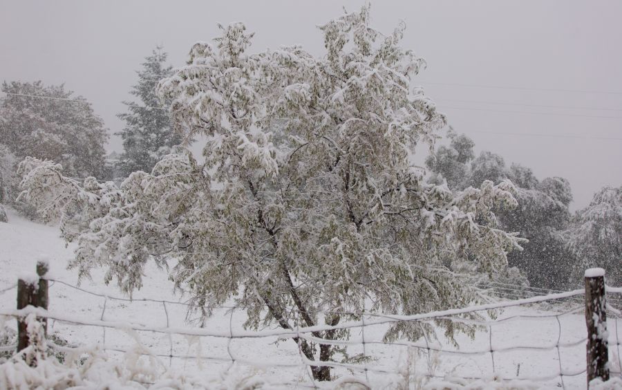
Looking ahead, we've likely seen the last snow day for a couple weeks or more.
Going forward, clouds and precipitation will dissipate, leaving us with a low of 0°C tonight and partially clear skies and a high of 1°C for Saturday. Saturday night, however, will be a seriously chilly -9.
And that'll signal the beginning of a warming trend. Sunday will be sunny with a high of -1°C and an overnight low of -5°C, while Monday sees a mix of sun and clouds and a high of 2.
By Tuesday, we'll be nearing seasonal norms. Highs will be in the 10°C range and lows near 4°C throughout the week.
In the meantime, go build a socially distanced snowman.


