Update May 31, 2017 5:25 p.m.
Environment Canada has ended the severe thunderstorm watch that was previously issued for the Okanagan.
There's still 5-10mm of rain and heavy winds expected Wednesday evening that will continue into Thursday.
Update May 31, 2017 4:00 p.m.
Central Okanagan Emergency Operations say the latest forecasts show between 5 to 10 mm of rain expected for the Central Okanagan accompanied by wind gusts up to 70 to 80 km per hour starting this afternoon and lasting until Thursday evening. Residents are reminded that the current flooding is a weather driven event and situations continue to evolve. Sudden changes in weather can increase the risk of flooding.
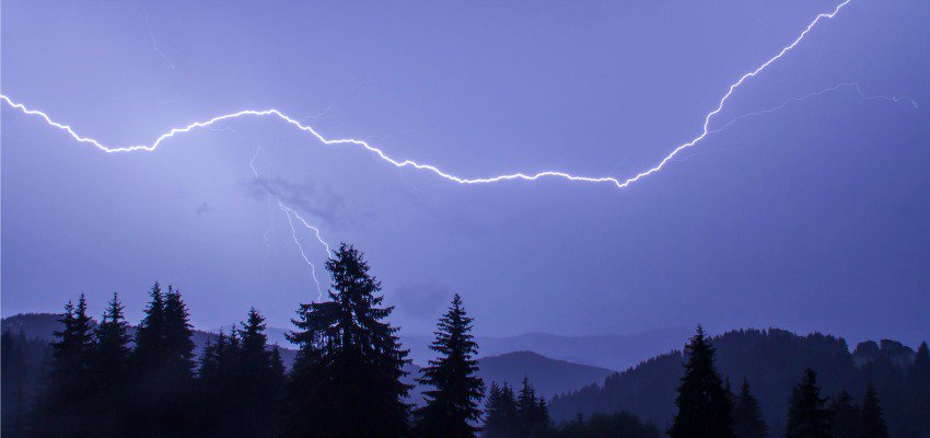
Environment Canada states in their alert that conditions are favourable for the development of severe thunderstorms that may be capable of producing strong wind gusts, large hail and heavy rain.
Large hail can damage property and cause injury. Strong wind gusts can toss loose objects, damage weak buildings, break branches off trees and overturn large vehicles. Intense lightning is likely with any thunderstorm that develops. Heavy downpours can cause flash floods and water pooling on roads. Lightning kills and injures Canadians every year.
Severe thunderstorm watches are issued when atmospheric conditions are favourable for the development of thunderstorms that could produce one or more of the following: large hail, damaging winds, torrential rainfall.
Please continue to monitor alerts and forecasts issued by Environment Canada.
Original story - Severe thunderstorm watch issued for the Okanagan
Environment Canada has issued another thunderstorm watch for the Okanagan.
"Conditions are favourable for the development of severe thunderstorms that may be capable of producing strong wind gusts, large hail and heavy rain," read Environment Canada's warning.
"Large hail can damage property and cause injury. Strong wind gusts can toss loose objects, damage weak buildings, break branches off trees and overturn large vehicles. Intense lightning is likely with any thunderstorm that develops. Heavy downpours can cause flash floods and water pooling on roads."
KelownaNow will continue to monitor weather updates from Environment Canada.
If you capture any great photos of the storm tag#kelownanow on Instagram and send them to news@kelownanow.com for free swag!


