
Trail: Joss Mountain
Trail Difficult: Difficult
Trail Distance: 9 km round trip, approximately 4 to 6 hours
Elevation Gain: 815m
Highest Elevation: 2380m

Description:
No words can describe the feeling I felt standing tall on the top of Joss Mtn. A spot that has been on my list for years and should be on every hiker's list! Placed in the remote backcountry, the trail to the top of Joss Mtn is like no other!
Once arriving at the parking area, the views were already stunning! We were overlooking Wap Lake and could see Three Valley Lake in the distance.
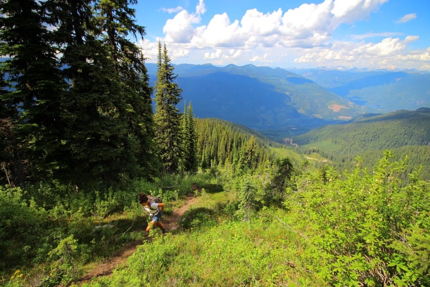
As we began the trail, there really wasn't any warm up, just straight up! Soon we reached the forest line where we found a trail map explaining a bit about what we were in for. The trail through the forest is well defined and easy to follow.
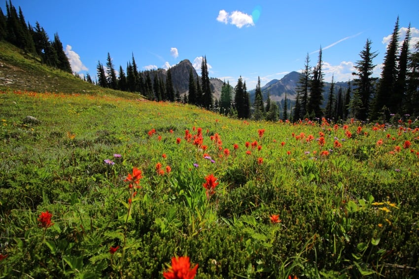
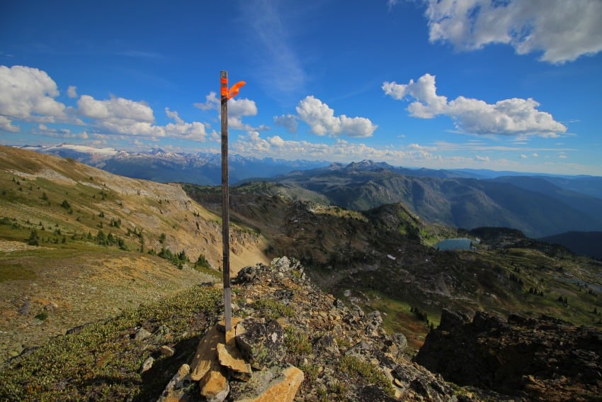
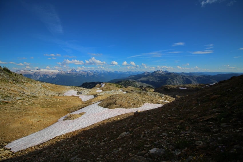
After about 2 km, the trail opened up to beautiful subalpine meadows filled with wildflowers! From here, the trail becomes sparse and hard to follow. Keep your eyes on the orange flagging ribbon that marks the trail. At around 2.8 km we got distracted from the views and lost all sight of the ribbons. But, with the objective in sight, we could tell what direction to go.
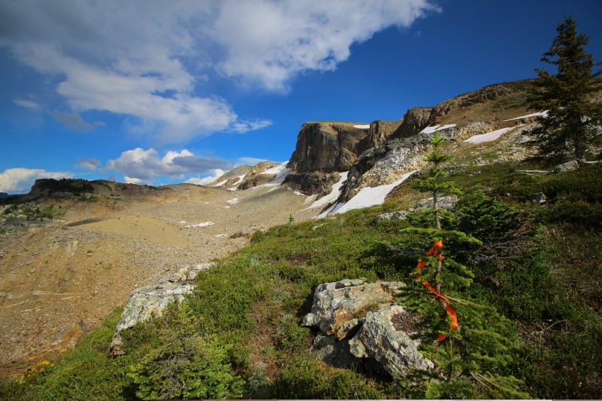
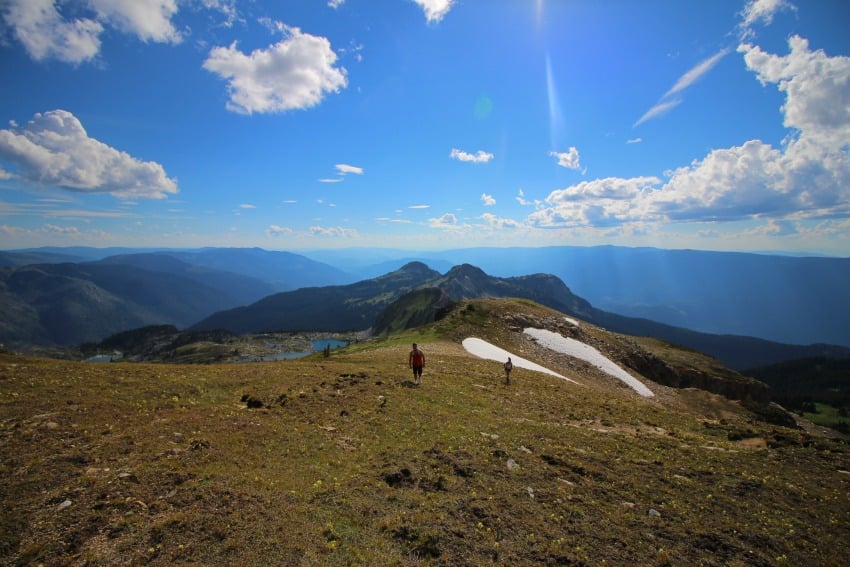
Soon we came to a fantastic view spot looking towards the mountains in the north, our destination in the east, and our hiking route in the southeast. The trees became scarce and we found the last of the snow! From here, we saw a few rock cairns marking the easiest route up. As we made our way up, gaining more elevation with each step. We came to another amazing view point overlooking the Joss Lakes!
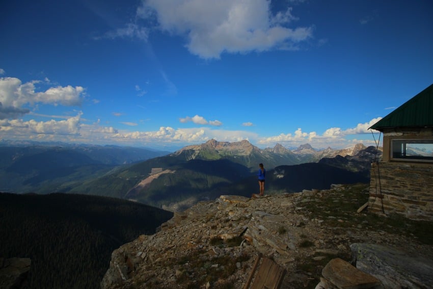
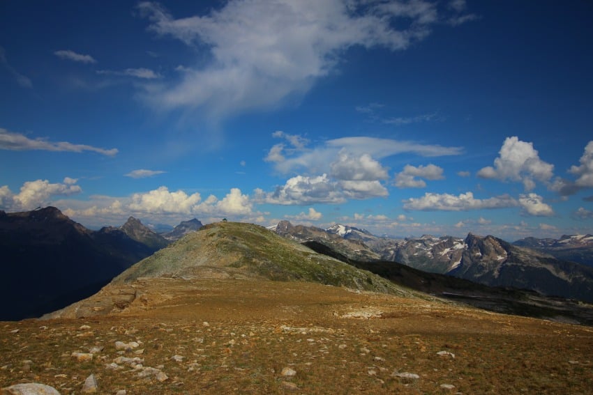
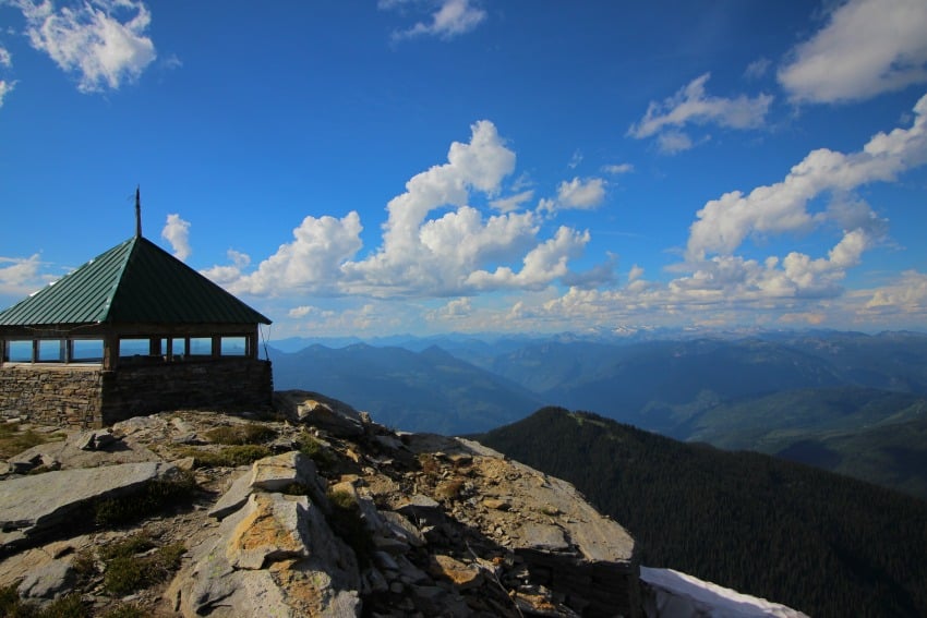
A lack of views is certainly not a problem along this hike. Once we made it on top of the ridge, the end was in sight! Perched at the highest point, we could see the old fire lookout tower in the distance! Although the trail is a little deceiving, it's not the easy Ridge climb as it looks. The trail climbs up and over one Ridge and then switchbacks up to the top of Joss Mountain. Once arriving at the old forest lookout (recently rebuilt) I was in awe!
The views were spectacular!! Some of the surrounding mountains are, Mt English and Begbie Mtn in the Northeast, Blanket Mtn and the Blanket Glacier in the Southeast and the Monashees in the distance! The 360° view is endless and simply breathtaking! I wanted to stay up there forever!
But, as time was passing, we had to start the traverse back to the vehicles before it got dark. We signed the log book inside the lookout tower and headed back. On the trek back, we had no problem following the 'flagged trail' and made it back in half the time. This was hands down one of my favourite hike's to date and cannot wait to go back!
Always remember to be mindful of your surroundings, PACK OUT what you PACK IN, stick to the trails, and Happy Exploring!
Special notes:
-This is extreme grizzly bear territory. Be loud while hiking and bring the proper essentials!
-There is no cell service as this is remote backcountry area. Always tell someone your hiking plans! Where you are going, who you are going with, what time you are starting and when you plan to return!
-Weather can change very quickly!! Come prepared for everything!
-This trail is not maintained, please respect the area, leave it how you found it and do not leave any garbage!! I cannot stress this enough!

What to bring:
- Good Footwear
-Bear spray and Whistle!
-Lots of water
-Lunch/Snacks
-Bug Spray
-GPS (I use the Ski tracks app on my phone)
-Hiking Poles, if needed
-Camera/Phone

Directions:
Located by Three Valley Gap Resort. Head east along Hwy 1, turn right onto Three Valley Gap/Wap Lake FSR. Reset your odometer and follow this logging road for 6km. Turn left onto 'Branch 5/Bowman Road.' Please note that this road is not marked very well! Follow this road for 10km. At around 5.3km they have recently constructed a new logging road that veers to the right.
Stay left on the main road to continue climbing up! At 10km make a right turn up a steep, rocky road. The parking area will be on the right. Using a 4x4 is not essential for this road but definitely helps! The road is in fairly good condition, but with active logging in the area, it is constantly changing!
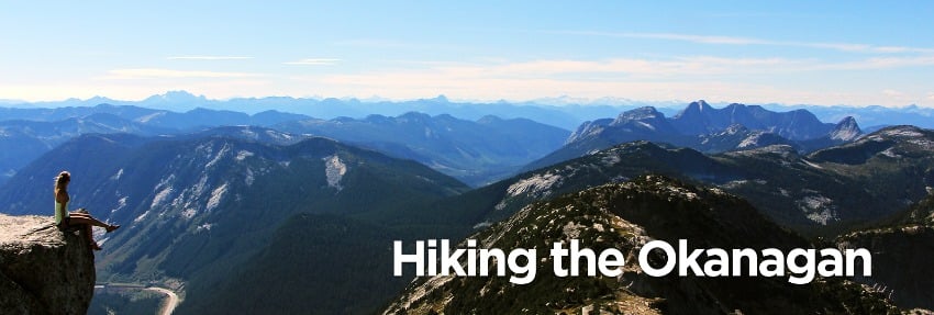 Born and raised in the Okanagan, Kristy Draginda has always had a strong passion for the outdoors. Whether it be hiking to the top of a mountain or standing below a waterfall, she says there is no better feeling than being inspired by nature. Follow along as Kristy shares different hiking locations in and around the Okanagan. For more adventure photos, check out Hiking the Okanagan on Instagram or Facebook.


