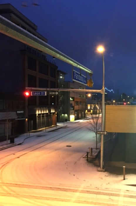
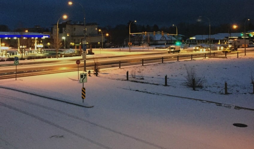
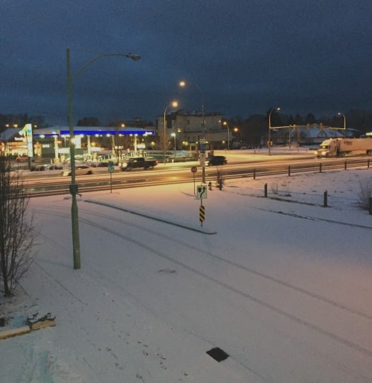
A snowy weekend is in store for the BC interior and snowfall warnings are in effect for today's storm over the Shuswap and Coquihalla highway.
The southern interior will be hit by two separate storms this weekend.
The first system is expected to bring in between five to 15 cm across the region today and should taper off by this evening.
The second system will move in on Sunday morning, bringing snow throughout the day, with the possibility of rain later that day and into the evening.
This is due to the storm bringing warmer air into the region.
The Sunday storm is expected to bring another five to 20 cm of snow across the region, but snowfall amounts will depend on how quickly the snow changes to rain.
Also on Sunday, there's a risk of freezing rain during the changeover from snow to rain.
Watch for snowfall warnings for Sunday's storm at Public Weather Alerts for Canada.
For regions that remain below Environment Canada's snowfall warning criteria, two back to back days of snow followed by a change over to rain may make travel and other activities difficult.
For road warnings, visit DriveBC.
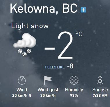
It's currently -2 C in Kelowna with light snow falling.
In Kamloops, it's a mild -1C with slight snow falling.