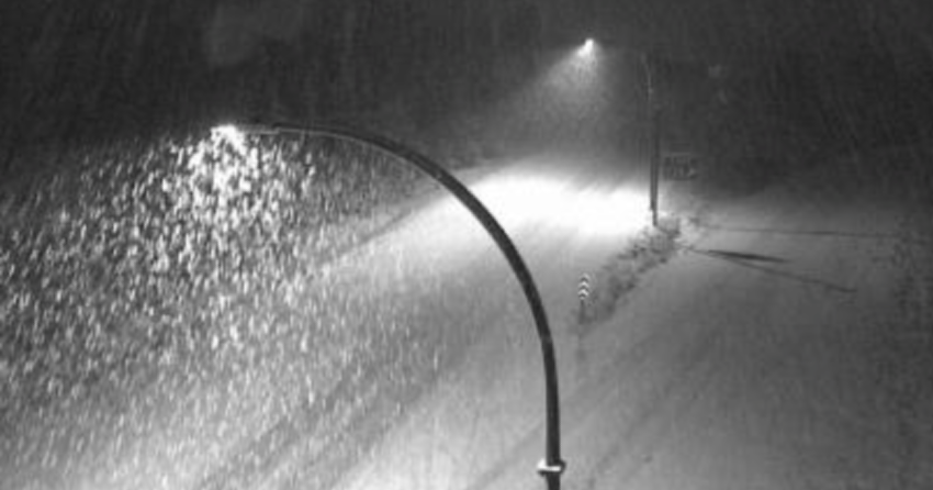
(UPDATE: Oct. 28 @ 7:58 am): Weather statements issued for the Coquihalla and Okanagan Connector have been upgraded to a snowfall warning.
Environment Canada between 15 and 20 cm of snow could accumulate along the highways.
A snowfall warning has also been issued for Hwy 1 between Field and the Alberta border.
Up to 20 cm is expected there between Thursday morning and Friday morning.
For the Connector and Coquihalla, snowfall is expected to turn into heavy rain this evening.
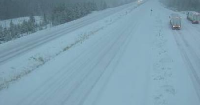
(Original story: Oct. 28 @ 5:55 am): Drivers are being warned about heavy snow on Interior highways this morning.
Environment Canada said between 10 and 15 centimetres of snow will accumulate on the Okanagan Connector, Hwy 3 (Paulson Summit to Kootenay Pass) and Hwy 1 (Eagle Pass to Rogers Pass).
It has issued a special weather statement for those roads.
A separate statement has been issued for the Coquihalla, where a travel advisory is in place due to snowfall.
Environment Canada said between five and 10 cm of snow is expected to accumulate on the highway, but road maintenance contractor Yellowhead Road & Bridge Nicola Ltd warned of between 20 and 40 cm near the Coquihalla Summit.
The contractor said the Coquihalla Protocol was activated at 1 am.
“A frontal system pushing across BC will spread snow to the summit of the Southern Interior highways this morning,” Environment Canada said.
“Rising freezing levels will result in the snow changing to rain over the Paulson Summit, Kootenay Pass and Pennask Summit near midday today. Intense rain over the Kootenay Pass will continue through Friday morning with amounts up to 40 mm expected.”
It added: “The freezing levels at the Rogers Pass will rise just above the summit level this afternoon then lower to around 1200 metres tonight. While the change over to rain is still expected later today, precipitation will quickly switch back to snow this evening.
“A further 10 cm of snow is possible near the summit tonight.”


