Meteorologists and news media will often use the terms snow and freezing levels at this time of year, but what exactly do these common phrases mean?
These levels are usually talked about when there is a threat of snow that will affect travel, and something to keep is mind is that there is a difference between snow levels and freezing levels.
The freezing level is the elevation at which the temperature drops to 0°C. Between fall and spring, a lot of the precipitation that falls over the Okanagan Valley begins as snow thousands of metres above the surface. In general, temperatures cool with height, and where precipitation forms during the cooler months is below freezing.
Snow levels are lower than freezing levels because snow can still fall at temperatures slightly above freezing. The elevation where the snow turns to rain is the snow level. It takes time for the snow to melt, and that is why we will often see precipitation falling as snow even when it is +1°C or +2°C (and sometimes even more) at the surface. If the snow level is above the ground, it will still be lower than the freezing level as snow often takes a few hundred metres to melt as it falls toward the ground.
To add to the complexity, these levels fluctuate for a number of reasons. First of all, pockets of warmer or cooler air can move in to alter these levels. A northerly flow, for example, will typically encourage the freezing and snow levels to drop. On the contrary, when weather systems tap into warmer sub-tropical moisture under what is usually a southwesterly flow, it can cause both levels to rise.
Another phenomenon that can make levels change quickly is evaporation cooling. When snow falls and starts to evaporate into the air that it falls into, the air surrounding this process cools down. This will continue to happen until the air becomes saturated.
When the snow falls past the freezing level and starts to melt into rain, this energy used to melt the snow also translates to further cooling. This is especially true when the precipitation is heavy because the more precipitation falling, the more melting and cooling happens. For example if you are near the snow level and it starts to rain, if the rain becomes heavy, there is a moderate chance the rain will turn back to snow because of strong evaporation cooling process that is happening.
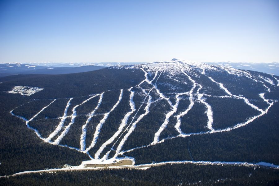
Our Okanagan forecast will keep freezing levels and snow levels low enough for us to see more snow on the mountain tops throughout the rest of week!