(UPDATE: Jan. 9 @ 5:55 am): The snowfall warning for the Okanagan Valley and surrounding areas has now ended.
Environment Canada said between five and 10 centimetres of snow is still expected on Tuesday, however.
The snowfall warning, put in place on Monday, ended just after 5 am this morning.
It applied to the Similkameen, Shuswap, Boundary and East Kootenay areas as well as the Okanagan Valley.
"A strong low pressure system moving through BC will continue to give periods of snow today," Environment Canada said.
"Further snowfall amounts of five to 10 cm is expected before the snow eases. Visibility may be suddenly reduced at times in heavy snow.
"Be prepared to adjust your driving with changing road conditions."
Winter storm warnings remain in place for the Coquihalla Highway between Hope and Merritt and for Hwy 3 between Hope and Princeton.
A warning is also in place for Hwy 3 between Paulson Summit and Kootenay Pass.
Environment Canada said another 20 to 30 cm of snow is along the roads expected today.
It added: "Additionally, winds will be particularly strong near the summits today, with wind gusts up to 70 km/h giving near zero visibilities in blowing snow."
(Original story: Jan. 8 @ 5:35 am): A snowfall warning has been issued for the Okanagan Valley and other parts of the British Columbia Interior.
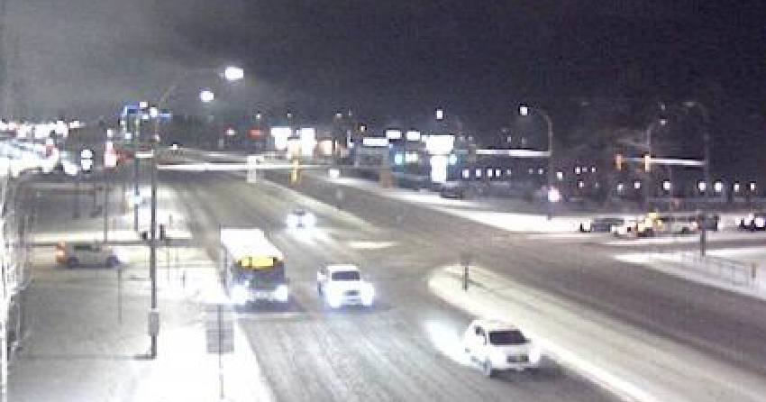
Environment Canada said about 10 centimetres of snow is expected to fall in Kelowna, Vernon, West Kelowna, Peachland, Osoyoos and elsewhere in the region from Monday evening till Wednesday morning.
The agency said the snowfall will be “heavy at times.”
Higher terrain could see more than 10 cm of snowfall, it added.
The Coquihalla and Hwy 3, meanwhile, could see up to 50 cm of snowfall.

“A Pacific frontal wave and a strong low pressure system will arrive to BC on Monday,” Environment Canada said. “Snow will continue through Tuesday and then taper off on Wednesday morning.”
It added: “Rapidly accumulating snow could make travel difficult over some locations. Visibility may be suddenly reduced at times in heavy snow. There may be a significant impact on rush hour traffic in urban areas.”
The same system is expected to affect the region’s highways, including the Okanagan Connector.
The Trans-Canada Highway between Eagle Pass and Rogers Pass is also set for significant snowfall.
Environment Canada warned of about 15 cm of snow along those routes.
The agency also warned of low visibility and heavy snowfall along Hwy 3 (Hope to Princeton) and the Coquihalla Highway (Hope to Merritt), as well as up to 50 cm of snow.


