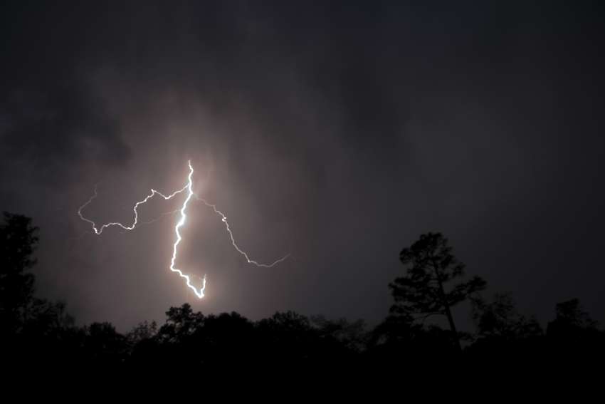
A severe thunderstorm watch is in effect for the Central, North, and South Okanagan and it may bring heavy rain and strong wind gusts.
Environment Canada has issued the watch for several areas in the B.C. Interior including the Nicola, North and South Thompson, Shuswap, and Similkameen Valley. Conditions are favourable for the development of severe thunderstorms and there is a possibility of large hail and heavy rain in some areas.
An upper low pressure system has moved into Washington State and is expected to move northward to the Okanagan region. Along with the watch, Environment Canada has also issued a special weather statement for the entire Okanagan as well. Heavy rain is expected to develop late Friday and there is the potential for flash flooding.
An area of rain with embedded thunderstorms will develop over the Similkameen Friday afternoon in response to an inflow of moist sub-tropical air. This rain area will move northeastward toward the Thompson and Shuswap in the evening. General rainfall amounts will be 20 to 30 mm with locally higher amounts of 40 mm under thunderstorms.
Heavy rainfall rates of more than 15 mm per hour could occur. Due to the drought conditions over these regions, the soil has a reduced capacity to absorb water. Thus, heavy rainfall increases the risk of flash flooding.


